What Have We Done for You Lately?

We at the MIC are transportation planners. We lay the groundwork for projects that use federal tax dollars.

Large, public, tax-funded infrastructure requires a huge investment of federal, state and local funds—but then, our region’s mobility, quality of life, economic growth and competitiveness rely on the transportation network. Every household and business depends on safe, multi-modal transportation infrastructure for moving people and goods.

Local input,  coordination, and planning expertise

Our job is to coordinate with all local jurisdictions so the money for this infrastructure is well-spent and reflects local priorities.

We at the MIC are also elected officials. Our Board members represent all local units of government in the Duluth-Superior area—states, counties, cities and townships. Because these neighboring jurisdictions all have responsibilities and make decisions that impact the transportation system, coordination is key to making efficient use of limited financial resources.

And the term “stakeholder” is the real deal for us – figuring out and working with those who have a vested interest in the decisions that get made. Our job is to work with the right people – planners, engineers, local officials – to set joint priorities for funding projects, agree on timelines, and to share information about the projects we’re up to.

Bottom-up planning process

This kind of cooperative process is what Metropolitan Planning Organizations (MPOs) like the MIC are designed to do, here and across the country. We facilitate a bottom-up approach to transportation planning, allowing for local input into decisions how federal funds are spent, instead of a top-down approach that would make decisions about local projects and priorities at the federal or state level.

Planning Successes

Most important, this planning process is getting real results in our area. Here are some of our planning successes:

HTAC: a national model

Our Harbor Technical Advisory Committee, or HTAC, is recognized as a national model for doing just that—getting the right people in the room to solve problems. The HTAC is a nationally-recognized, bi-state forum to discuss issues confronting the Ports of Duluth and Superior. The HTAC brings together a broad range of industry, environmental and government stakeholders to provide sound planning and management recommendations and to promote the harbor’s economic and environmental importance to our community.

Erie Pier Management Plan: first of its kind on the Great Lakes

HTAC stakeholders have worked for many years to craft the Erie Pier Management Plan, a blueprint for transitioning the Erie Pier Confined Disposal Facility (CDF) to a first-of-its kind Processing and Reuse Facility (PRF). By creating a cost effective and environmentally sound alternative to current dredge material disposal practices for Great Lakes ports, this innovative Plan will save local taxpayers the millions of dollars it would have cost to develop a new CDF.

Landside Port Access Study: targeted roadway construction

The Landside Port Access Study was used to educate the public and policy makers about the land-based access needs of the Port and laid the foundation for funding a new roadway project (Helberg Drive) to improve access and safety.

Corridor planning: addressing problems before they arise

The MIC’s Corridor Planning initiatives seek to be proactive, by identifying and addressing problems along local roadways before they arise. They balance mobility needs with adjoining land uses and environmental and community interests.

Our North 28th Street Plan identified and made recommendations to alleviate critical transportation issues on North 28th Street, in Superior, in advance of planned road reconstruction. Significant safety concerns needed to be addressed due to several conflicting land uses, including the construction of three new schools, a skate park, a recreational trail, housing units and a newly-developed commercial area.

The Duluth Heights Traffic Circulation Study was undertaken at the request of neighbors and local elected officials to address the issue of residential streets being used as an unwelcome and unintended thoroughfare to a commercial district. Using an extensive public participation process, MIC staff worked closely with residents to document the level of cut-through traffic, and identify options to reduce impacts and improve flow in and around the neighborhood.

This planning process set the groundwork for the City to pursue funding for a new roadway connection (Joshua Avenue) between the Miller Hill commercial district and the east side of Duluth.

Long Range Planning: coordinated goals and strategies

The MIC’s Long Range Planning initiatives provide policy guidance, goals and coordinated strategies for jurisdictions within the greater metropolitan area of Duluth, MN and Superior, WI.

Directions 2035 is our Long Range Transportation Plan, setting forth a vision for the area-wide transportation network for the next 25 years. The LRTP provides a framework for working cooperatively to provide a well-maintained, integrated, accessible and multi-modal transportation system to safely and efficiently move people and freight, within the constraints of funding the region can reasonably expect to receive.

The Duluth Urban Area Growth Impact Study examines how best to accommodate growth in areas outside the urban services boundary while ensuring taxpayer protection from the consequences of inefficient patterns of development. Future land use information from each jurisdiction was used as part of a regional planning process to examine growth impacts and to identify the specific areas best suited for development.

Bike, Pedestrian and Transit Planning: mobility and quality of life

The MIC’s planning initiatives for modes of travel that are not centered on cars and trucks account annually for about 20% of our work program and budget. They are important because they aim to improve access, mobility and quality of life for all people in our area, regardless of age or physical ability, whether they travel by car, bike, bus or on foot.

The MIC’s Bicycle and Pedestrian Advisory Committee (BPAC) engages local stakeholders to provide sound planning recommendations and to provide public outreach and education about bike- and pedestrian-related plans and projects.

The Duluth-Superior Area Bike Map is our most popular product, an award-winning guide to the best on- and off-street bike routes in and through this region.

The Duluth Sidewalk Study provides technical and policy guidance to assist local elected officials in working with neighborhoods during roadway reconstruction projects. The GIS-based interactive map is a powerful tool for decision makers to apply data to the sometimes-contentious discussions about locating sidewalks on local streets.

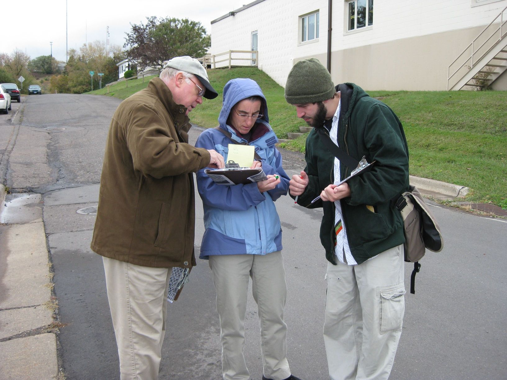
Safe Routes to School (SRTS) Plans: The MIC was an early proponent of SRTS planning, working closely with many community stakeholders collecting data, conducting field observations and identifying safety issues around schools. The MIC’s recommendations have been incorporated into many funded projects to improve bike and pedestrian access to schools in the cities of Duluth, Superior and Proctor.

Transit Planning: The MIC provides ongoing input and technical assistance on local transit initiatives including planning and securing funding for a future downtown multimodal facility. Results from a recent ridership survey will be utilized by MnDOT to determine the potential for utilizing transit service to mitigate the effects of major construction projects statewide.

This is where you come in

Hopefully this gives you an idea of how we have worked (for nearly forty years!) to ensure that federally-funded infrastructure investments are developed with input from the people who know this area best.  As a local resident, do our planning initiatives reflect your priorities?

How to Get From Here to There: Access and Connectivity in the Lincoln Park Neighborhood

Transformative changes are taking place in the Lincoln Park neighborhood.

View from the new Western Middle School
Looking down from the new Western Middle School site to the new Clyde Iron recreational facility (lower left)

A major redevelopment of the old Clyde Iron industrial complex was just completed. A new Western middle school is rising on the hillside. A segment of the Cross-City trail will be winding through this neighborhood in the next few years as it spans the city from east to west along the waterfront.

Here at the MIC, we see these exciting new community-oriented developments and start to think about…access, connectivity and land use.

We’re kind of geeky that way.  Let me explain.

Access is about making sure that people, who have different mobility options and who need or want to use these facilities, can get to them easily and safely.

Connectivity is about making sure that usable and intuitive transportation links exist between the new developments and other destinations.  At the base of this this neighborhood, popular destinations would include Wade Stadium, Wheeler Field and Harrison Park.  And along the top of the ridgeline are Skyline Parkway and the Superior Hiking Trail.

Complicating the situation, the land uses for these facilities are distinctly at odds with each other.

The middle school is located on the edge of a traditional residential neighborhood that is easy to walk through, with square blocks, houses close together and minimal, slow moving traffic. It can actually be characterized as a semi-rural area, with few sidewalks and narrow streets, many of which dead end into large open spaces.

The Clyde Iron complex, in contrast, which also houses a Boys and Girls Club, indoor athletic fields, year-round ice rink, and in the future a nearby Duluth Children’s Museum—is located in an established industrial area, where a significant level of pedestrian traffic was not anticipated.

Last but not least is the huge barrier of the railroad tracks that run between the school and the Wheeler Field park space and the Denfeld neighborhood immediately west of the school.

So, a number of our current studies are taking a look at how people move around this neighborhood in light of the new developments.  Creating a walking corridor between these facilities is a key transportation piece for this neighborhood.

The Lincoln Park Pedestrian Corridor Plan is focused on creating a walking route up and down the hill from the middle school to the Clyde Iron complex.

An upcoming Safe Routes to School site assessment will further examine the school and walking and bicycling routes to the middle school to the surrounding neighborhoods.

And a larger neighborhood wide transportation study, the Lincoln Park Multimodal Transportation Assessment will build off of the other 2 studies and focus on all modes of travel in the neighborhood.

Lots of work is ahead.  We’ll keep you posted.

Photo credit: Scott Byykkonen

Co-writing credit: Rondi Watson

Central Entrance Survey Results Are In:

Let’s Make Life a Whole Lot Easier for This Guy


Person attempting to cross busy Central Entrance roadway in the center turn lane, Duluth MN
The City of Duluth has an interesting long-term vision for Central Entrance.  They, along with area residents and businesses, see it as having the potential to be an inviting and attractive destination within the City.  They would like it to function as the “main street” of the Duluth Heights neighborhood and become more walkable with better access to area businesses.

Which is almost hard to imagine, if you agree with the many other residents who currently regard Central Entrance as basically unpleasant—as a road to be tolerated while running errands or going to work, if not outright avoided.

And there’s a reason for this.  Central Entrance is classified as a principal arterial roadway, meant to efficiently move high volumes of traffic between urban areas.  Although a vital cog in Duluth’s transportation system, Central Entrance is simply not conducive to modes of travel besides driving—to people walking or biking, as you would expect along a true “main street.”

The Transportation Experience

Our Central Entrance Corridor Study, currently underway, aims to identify ways to improve the transportation experience for everyone, drivers and non-drivers alike, who travels along that roadway.

Specifically, we are examining the transportation network in this area and identifying changes that will make the corridor more compatible with the vision for the future land use.  The ultimate objective is to maintain traffic mobility and flow, while improving safety and that sense of livability that a “town center” or “main street” implies.

As part of our planning process, some of the data we’ve collected so far includes information about the roadway such as sidewalk locations, bike routes, transit routes and stops, driveway access points, traffic counts, traffic control locations and types, and crash information.

Traveler Survey – Baseline Attitudes

We also conducted a survey to assess people’s attitudes toward traveling on Central Entrance.  Postcards were mailed to 3000 residents and businesses in the area, inviting them to go the MIC website and take an online survey and more than 100 people responded.

We asked them to rate the following characteristics— traffic congestion, passing other vehicles, pedestrian safety, speeding traffic, making turns and accessing local businesses— on a scale of very bad, bad, acceptable, good and very good.

Here’s what we learned.

How do you travel along Central Entrance?

An overwhelming number (95%) travel the corridor by car and over 90% make at least two trips through the corridor per week.  Over 55% make at least six trips per week and 28 % make 10 or more trips per week.

What are your destinations on Central Entrance?

Many people traveling through the corridor have multiple purposes for their trip. Access to shopping and services was the top weekday trip purpose chosen by 85% of respondents.  Work and social activities were destinations identified by just over half of the respondents.

Travel times during the week were heavily weighted toward morning (6-9am) and afternoon (4-6pm) peak travel times for work destinations and toward evening times (4-10pm) for those heading to social activities.  Weekday shopping travel was evenly spread throughout the day.

Weekend users of the corridor indicate that shopping, social activities and recreation were the primary destinations.  Travel times on the weekend were mostly during the daytime hours of 9am – 6pm.

Do you ever avoid traveling on Central Entrance ?

80% of respondents replied that they did.  When asked why, almost 90% listed congestion as the primary reason and 72% had concerns with excessive travel time.

Biggest Issues?

Pedestrian safety was rated the lowest—between “Very Bad” and “Bad”.  Traffic congestion, speeding traffic and making turns were three other areas that ranked low.

Overall rating of Central Entrance?

Almost 65% chose “bad” or “very bad.” Only 6% chose good or very good and almost 30% chose acceptable.

It’s fair to say that those surveyed do not view Central Entrance in a favorable light.

So our job—finding ways and making recommendations to make pedestrians (like the fellow in the picture, above!), bicyclists and transit users, as well as drivers, feel more comfortable along that corridor.

Are these survey results consistent with your view of that roadway?  Do you share the City’s future vision for the corridor as a neighborhood center—not place to be avoided but an attractive destination?

Three Ways to Have Your Say

MIC Planner James Gittemeier discussing TIP projects with a resident of Duluth, MNAs the MPO for Duluth-Superior metro area, it’s our role to work with local jurisdictions to identify, plan for and program how federal transportation funds get used in the region.

Since transportation projects can be big, expensive, and time-sensitive (i.e. they need to be coordinated with adjacent infrastructure projects), they need to be planned for in advance – we’re already working to line up funding for construction projects that won’t begin until four years from now.

We are part of a process that is now underway to divvy up about $40 million in federal highway transportation funds for projects throughout the Arrowhead and Northeast Minnesota for 2016.

$40 Million Might Seem Like a Lot, But…

A mile of roadway can cost almost a million bucks to repair.  Now consider that the Duluth-Superior area alone has more than 350 miles of roads eligible for federal funds and, well, you get the picture. There are a lot more maintenance and construction needs than money to go around.

So, not every project can receive federal funding.  That’s where the MIC’s prioritization process comes in.

Every year, jurisdictions in the Duluth metro tell us which projects they’d like to use federal funds for and we work with our Technical Advisory Committee (TAC) and Policy Board to decide which ones are the most important for meeting the current and future needs of our transportation system.

We Want to Hear from You

Road projects are a public good paid for with taxpayer money, and therefore the local citizens have a right to weigh in on such decisions, along with planners, engineers and elected officials.

This year, the following transportation projects will be prioritized for our area.  All of them are intended to use your gas tax dollars to improve the region’s transportation system.

Do you have any opinions about which are more important to our area?  How would you rank these proposed projects if only 2 or 3 could be chosen?

  • Joshua Ave Construction – City of Duluth
  • Stebner Rd Reconstruction – City of Hermantown
  • Arlington Rd Resurfacing – St. Louis County
  • Trunk Highway 23 Rehabilitation & Replacement of Kingsbury Creek Bridge – MnDOT
  • US Highway 53 Resurfacing– MnDOT

Talk to Us – Online, In Person or by Phone


1)      Make a comment, below,  or

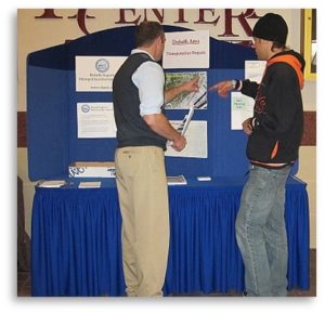
2)      Stop by and visit our informational display on

  • Wednesday, January 11 from 11:30 a.m. to 1:30 p.m. on the Skywalk level of the Holiday Center in downtown Duluth, or

3)      Call me with questions or comments–Robert Herling at (218) 529-7573.

Although it’s only January 2012, NOW is the time to give us your input on these proposed projects before funding decisions are made for 2016.  You have three ways to let us know.